

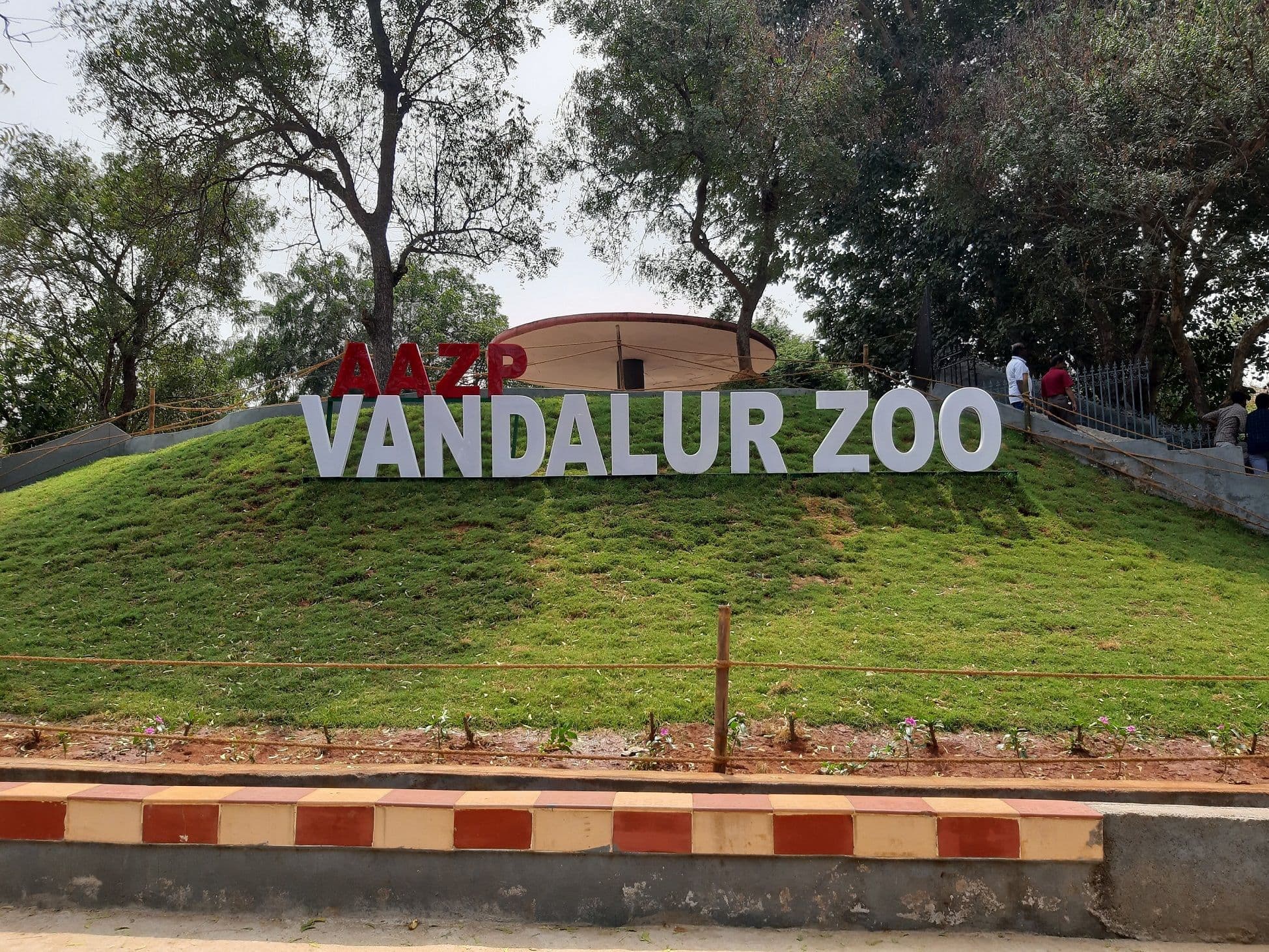
The “missing” lion reports from Vandalur are better read through the park’s geography. Arignar Anna Zoological Park occupies a large, wooded campus within a reserve-forest matrix on Chennai’s edge. Its dry-evergreen vegetation, low hill forms, seasonal waterbodies and fenced safari layout strongly influence how a big cat can keep out of sight—yet remain contained.
The Story
A five-year-old lion, Sheryaar, did not return to the night shelter from the 50-acre lion safari zone. Officials closed the safari, intensified monitoring and stated the animal remained within a fully fenced, compounded enclosure. Staff reported sightings deep in the vegetated core; fresh pugmarks and thermal drone sweeps supported that assessment. To understand why a healthy lion can elude keepers briefly—and why officials remained confident of containment—one must look at the site’s land and cover: dense scrub-woodland mosaics, rolling ground with gullies, and multiple visual barriers that reduce long-range visibility inside the safari’s interior.
Why It Matters
Zoo incidents are often framed as management lapses or sensational escapes. At Vandalur, geography is a central variable: edge-of-city reserve forest, dry-evergreen thickets, micro-valleys and seasonal tanks create both refuge and route-finding challenges. For managers, this geography enables more natural behaviour and welfare for large carnivores; for safety, it demands layered perimeters, surveillance, and predictable return cues (feed timing, scent trails, den familiarity). Public understanding of this physical setting helps separate rumour from risk.
Background / Context
-
Location & Setting: The zoo anchors the south-western edge of Chennai’s urban footprint, embedded in a notified reserve-forest belt. Proximity to arterial roads improves access but also creates classic urban–wild interface issues—noise, light and visitor pressure—which the surrounding woodland buffer helps dampen.
-
Scale: The campus spans hundreds of hectares, among the largest in the region, allowing broad exhibit paddocks, breeding and rescue facilities, and safari zones set in contiguous woodland.
-
Biome: The landscape represents tropical dry-evergreen conditions typical of northern Tamil Nadu’s inland fringe—evergreen or semi-evergreen canopies intermixed with thorny scrub, climbers and hardy understory. This yields year-round cover even in lean seasons, unlike purely deciduous belts.
-
Topography: Undulating ground rises toward a low hill mass on the campus side, creating shallow valleys, ridges and cut-banks. Sightlines truncate quickly inside such terrain, especially when shrub layers are intact.
-
Hydrology: The site receives most rain during the northeast monsoon. Seasonal ponds/tanks and low-lying swales retain moisture; in dry months, shaded depressions preserve humidity. These features concentrate prey signs (for hoofstock in mixed exhibits/safaris) and provide predictable resting spots for carnivores.
-
Zoning: The park separates public exhibits, back-of-house areas, rescue/breeding zones and drive-through safaris. The lion safari is a discrete, double-secured unit: a boundary wall or berm plus chain-link mesh, service tracks, controlled gates and night shelters.
Implications
-
Containment vs. Concealment:
Rolling terrain plus dry-evergreen thickets let a lion remain unseen at moderate distances while still being contained. For search, this shifts emphasis from line-of-sight patrols to sign-based tracking (pugmarks, scat, brush disturbance), thermal imaging at night, and systematic sector sweeps aligned to ridges and drainage lines. -
Behavioural Ecology in Managed Landscapes:
In a vegetated safari, lions rest in shade during heat and move at crepuscular/night hours. If a return cue (feed, familiar keeper call, enclosure routine) is missed, the cat may hold in a quiet pocket until hunger or habituated routine draws it back. Geography—cooler hollows, wind-sheltered thickets—dictates these pockets. -
Perimeter Design Logic:
Double barriers (wall/berm plus mesh), trenching where appropriate, and service roads as firebreak-like corridors reduce breach risk and aid rapid response. Vegetation is managed to maintain internal wild feel while preserving inspection sightlines along perimeters and gates. -
Hydrology & Microclimate:
Seasonal water points and shaded lows act as thermal refuges and predictable revisit nodes. Search grids prioritise these nodes, especially after hot days or dry spells when water concentration is higher. -
Visitor Management & Risk Communication:
Proximity to the metro means fast-forming rumours. Clear messaging—“fully fenced safari, no external breach”—paired with visible patrols, temporary closure notices, and quick, factual updates reduces panic while operations proceed. -
Technology Stack Fit to Terrain:
Thermal drones and camera traps compensate for poor sightlines; fixed-wing/quad drones by day, thermal payloads by night, and camera-trap belts along likely travel corridors convert a visually dense landscape into a sensor-mapped grid.
Conclusion
Vandalur’s geography is not a backdrop—it is the script. Dry-evergreen thickets, low hills, and seasonal water pockets make the lion safari feel natural, encourage species-typical behaviour, and, during an incident, complicate quick visual contact even when containment is intact. Effective management here means reading the land as carefully as the animal: use the ridges, follow the swales, work the water, let hunger and habit do their work—and communicate clearly while the grid tightens.